After the previous walks exertions I decided to plan something a little less tiring on the uphill stretches, or at least to study the map profile a bit more intently to avoid anything that showed an incline of 45 degrees. We are quite fortunate where we live in that we have a lot of Pennine moorland surrounding us and within an hours easy drive there are four National Parks, plus other Areas of Outstanding Natural Beauty so we are a little spoiled for choice. Please don't misinterpret this as a complaint, as it isn't, but it does give scope for a lot of variety and for a sharper focus on less popular areas that would otherwise be overlooked. This weekend we thought about those less popular areas and decided to have a mooch around Waddington, a very nice small Lancashire village that is a regular winner of Lancashire Best Kept Village award. Admittedly, a visit in winter really wouldn't do it justice though. We are familiar with Waddington, and have driven through it several times previously, although we have never parked the car and had a wander of the streets nor had a look at the three pubs that are in easy walking distance of each other around the village centre.
Distance: 8.4 mi
Ascent: 873ft
Sandwiches: Home cured ham with spicy home made piccalilli on home made wholemeal bread
Soup: Home made vegetable with chicken (with added garlic & chilli)
 |
| Elevation Profile |
 |
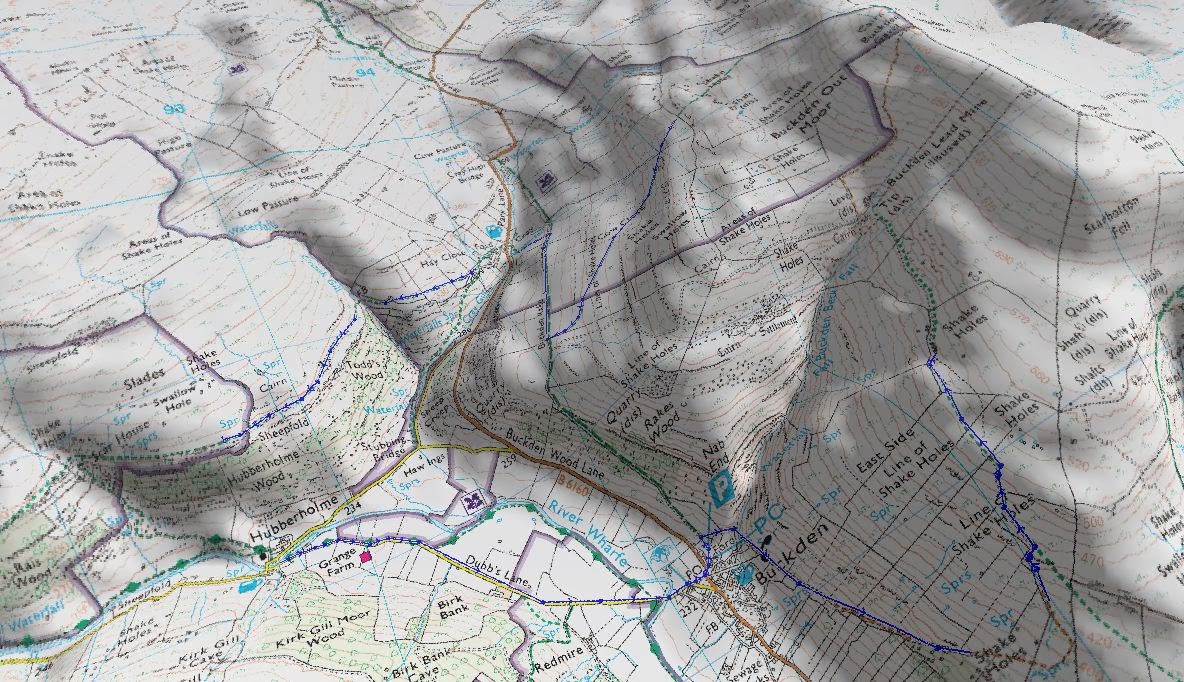
| Route Map |
 |
| 3D view of route |
The walk I planned would take about 2 1/2 hours (in theory!) so we got there about 2pm in order to finish the walk as it was going dark, and to enjoy the delights of a local pub, roaring fire and smell of woodsmoke lingering in the evening air. Additionally, by early evening the more popular pubs have returned to being a pub instead of resembling an out of control crèche; hence the late start. We found a small, free public car park next to a recreation ground on the outskirts of the village and parked there. After a change of footwear, sorting the rucksack, pocketing the map and a handful of sweets for sustenance, off we went.
We walked from the car park on Twitter Lane, yes, it really is called that... and headed towards the village centre.
 |
| How many people have Tweeted this road sign - I did. |
We walked past the Lower Buck pub and turned left passing the rear of the pub along Belle Vue Lane. This in turn became a muddy farm track, and an extremely muddy one at that. It was a good test of the Gore-Tex liners in my Berghaus boots as the water on the ground was very nearly lapping up past the tongue of my boots. We continued along this farm track in the hope we would get to firmer ground, alas it was not to be. Not unexpected really considering the rain we have had of late. We progressed past a field barn, and over a couple of swollen streams, one of which had a substantial stone bridge built over it, and indication that the track we were walking along must have had a greater importance in the past than it does now, and we headed up to Lower New House Farm.
 |
| Field barn outside Waddington |
As we approached Lower New House Farm, we passed a building site where someone had been fortunate enough to get planning permission to build a new house where which was clearly work in progress. The view from the front windows was superb - lucky buggers! We passed the building site and approached the farm. The farmer was outside loading a waggon and after saying a cheery 'hello' we ended up in conversation for about 10 minutes. He was a very chatty chap and the topics of our brief conversation were the weather, where we were from, where we were going, his new neighbours, the price of pigs and the implications for the rationalisation of the European Common Agricultural Policy - I jest about one of those topics and will leave it to the reader to decide which one.
 |
| Pendle Hill from Lower New House Farm |
We passed through the cobbled farm yard and between the old stone buildings and farmhouse with the thought that the old cobbled yard must have seen the passage of hundreds of feet over the years. We went through the gate at the end of the farm yard and out into pasture. After a short distance, we took an abrupt right turn and climbed over a stile into an overgrown lane, which was in the process of being eroded by the substantial stream running down its centre. This lane did prove to be difficult going and the rucksack was continually getting snagged in the over hanging bushes and holly - one particular branch nearly had my eye out. We slowly ascended the lane to Ridge Page Fold and as we got closer a distant pack of dogs heard us and went into a frenzy. As we reluctantly approached the house we could see them running around the garden and heading towards the path we were walking along. The pack comprised a large Alsatian, two Red Setters and a Labrador. Fortunately there was a wire fence separating us from the four drooling, foaming and barking beasts. If they were to leap the fence then the turn of speed I could muster would certainly give Usain Bolt something to think about. We passed through a series of substantial, tall timber pedestrian gates, thoughtfully signposted by the householder, along the footpath and passed out of sight and away from death by canine mauling. Maybe the tall timber gates were there to provide protection should the dogs actually escape - just a thought. As we passed by we saw a good showing of Snowdrops enjoying the sunshine, and a positive sign that Spring is slowly on its way.
 |
| Spring is coming! |
We enjoyed the tarmac surface of the lane we were no striding along and made good progress as it was level and dry. We approached a junction with Cross Lane and went past Braddup House and got through a timber five bar gate onto a bridlepath known as Whinny Lane. I must say 'Lane' is really a misnomer, I think 'woodland' would have been a more apt description. You could see the remnants of what would have been a lane at one point, but this was now overgrown with young trees. The ground underfoot was terrible and I went ankle deep at one point and very nearly lost my boot. This part of the walk was a struggle and was twice as hard as it should have been. We eventually staggered out of the woodland and the bridlepath we were following took a route alongside another wooded plantation. We continued ascending across some fields that were very wet underfoot, and the thought came to mind that there are probably paddy fields somewhere with less water than this.
 |
| The aftermath of Whinny Lane |
We continued ascending the bridlepath passing Buckstall Farm and this time on firmer ground. We spied a tumbledown drystone wall which would make a great stop for our late lunch and subsequently found a suitable seat among the tumble-down stones and broke open the comestibles. I poured some piping hot soup and enjoyed the sun, the view and the food.
 |
| Lunchtime view - Buckstall Farm with Pendle Hill on the horizon |
 |
| Lunchtime view - Buckstall Farm to the right and Whinny Lane beyond the clump of trees |
The sun was quite warm on our faces and we could have sat there for quite some time enjoying the glow. The only sound was from the occasional car going up the road over Waddington Fell. The sandwiches we were tucking into had quite some heat from the chilli in the piccalilli and were quickly eaten. The soup was wonderful and the added garlic was obvious when the cap was unscrewed from the flask, whereas the added chilli struggled to compete with that in the piccalilli on the sarnies. We rested for around 20 minutes and then reluctantly re-packed the rucksack. I hoisted it onto my back and we continued the climb upwards to Browsholme Road. It seemed a rather grand name for what was a rarely used tarmac track, however from reading the map, it did lead westwards to Browsholme Hall although appeared to be no more than a footpath now it would have been a well used track. As we arrived at the road we turned right towards the Slaidburn Road (B6478) and picked up the pace a bit as the going was now good. It felt great to make progress again and to stride out a bit too. We soon arrived at Slaidburn Road and took a right turn to head down towards Waddington. We descended for about 5 minutes and then took a left turn along Mill Lane to head towards Mill Farm.
We passed through Mill Farm, and then the adjacent Cuttock Clough Farm, both of which bear very little relationship to farming now. The farms and outbuildings have been converted to very smart private residences over the past few years and now form a small hamlet. We strolled along the track that divided the scattered buildings and left behind Cuttock Clough Farm with its converted barns, obvious wealth and white Range Rover Evoques and continued to progress along the well surfaced lane to Seedalls Farm. At Seedalls we came across a remnant of the recent past that was a complete contrast to the earlier Mill Farm buildings.
 |
| A timber chalet style bungalow |
The timber chalet style bungalow we saw was of a style reminiscent of many built in the 1920's and 1930's. The bungalow was clearly still inhabited and somebody must still be living there. It is surprising to see it standing as many buildings of this type have been enlarged, converted and rebuilt in more substantial materials over the past 40 or so years. We stopped and admired it for a few minutes before moving on.
We depated Seedalls Farm and approached the top of Moor Lane. We crossed diagonally through an open field to descend through woodland until we got to some stepping stones over Porters Brook. We just managed to cross these without incident - just! The steep climb out of this wooded valley certainly took our breath away, although that may have been the mud causing us to take one step forward and two back. We got back onto level ground and rapidly approached Bucks farm, as we passed the farm buildings the animals in the collection of outbuildings became quite curious and two sheep in an stone outbuilding were the most curious of the lot.
 |
| Curious Sheep... |
As we passed through Bucks farm we started on a well surfaced farm access track which we took a great delight in walking along.
As we approached the tarmac road my better half was having trouble with blisters forming. We stopped for a moment, had a look at the map and a brief discussion ensued, and we decided, in view of the blisters that it would be best to take the tarmac road straight down into West Bradford. The light was fading fast too, so the prospect of walking through woodland and crossing West Clough Brook twice in the dark didn't fill us with joy.. the tarmac road shortcut beckoned and got the better of us!
We very quickly approached and passed through West Bradford and then headed across some more paddy fields before we came out infront of Waddington Primary School. It was now dark, so I didn't take many pictures. We picked up the roadside footpath from here and in no time at all we were back in the centre of Waddington. We did think of going into the Higher Buck pub for a pint, but it was sadly closed. After a bit of Googling, it appears that the hours of opening are variable in Winter.
 |
| Waddington village centre and stream dissecting the village to the left |
We walked down through the village and thought better of heading into the Waddington Arms. Judging from the dress of the clientele entering and the candles in the windows, I suspect we wouldn't have been welcomed with open arms, particularly as we were quite mud splattered and dishevelled. We passed by the Waddington Arms and made a mental note to visit again when better attired, and walked past St Helen's Church and towards the Lower Buck. The weather was fine and we decided to sit outside on the timber tables and chairs. I went in and the brightness and warmth of the interior took me aback. The bar was packed, and I managed to "squeeze" my way through - well, I am over 6ft and weigh 19st so just created my own path through! To my delight I saw Timothy Taylors 'Landlord' on the hand pump, so it was a pint of that brew for me, whilst the other half plumped for the usual chilled lager. I made my way back through the crush, politely excusing myself, and headed back out through the double front doors. The pint of Landlord was a nice treat, and was on form too. We sat there outside in the silence with the smell of wood smoke permeating the air, the church bells chiming a quarter past six and slowly savouring the bitter beer.
 |
| Guess which pub?.. |
 |
| A wonderful brew! |
We savoured the atmosphere of the village on a crisp, winter Sunday evening, lingered with our drinks and slowly made our way back to the public car park next to the recreation ground. On arriving at the car, the engine was started and the heater put onto full whilst we changed our footwear. I gladly took off the rucksack and put it onto the back seat and then took off and packed away my jacket and hat. We settled down into the front seats, and then set off on the journey home whilst finishing the mini Mars bars that had been carried around in the rucksack all day. Luxury!